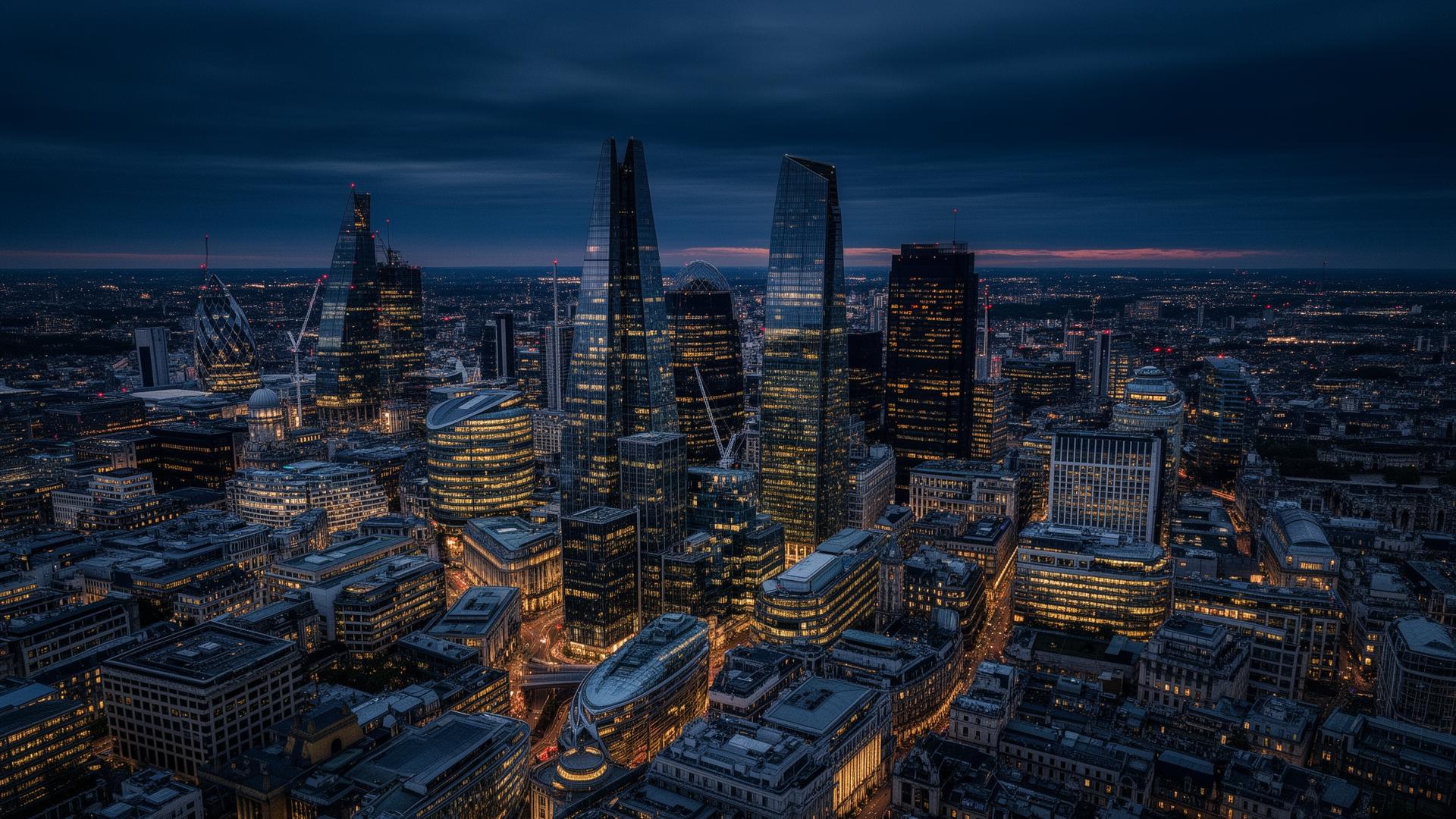
Aerial inspections.High-resolution clarity.
CAA-approved aerial surveys capturing roofs, façades and difficult-access structures in high resolution — without scaffold, towers or risk to occupants.
An informed, personal approach.
Drone-mounted high-resolution imaging gives a forensic view of pitched roofs, chimneys, parapets, gutters and elevations that would otherwise require costly access equipment. Findings are presented in a clear written report with annotated images.
Operations are flown under our CAA permissions, with risk assessments and airspace approvals managed in advance. We coordinate with neighbours and managing agents to ensure minimal disruption.
Every appointment includes:
Full CAA compliance
Operations carried out under our Operational Authorisation, with full risk assessment and insurance.
High-resolution imagery
Detailed photography of roofs, chimneys, parapets and elevations from multiple angles.
Annotated report
Findings clearly explained, with images marked up to highlight defects and recommendations.
Fast turnaround
Reports typically delivered within five working days of the flight.
A clear, considered process.
- 01
Pre-flight planning
Site assessment, airspace check and neighbour notification handled by us.
- 02
Site flight
Imagery captured under the appropriate CAA permissions, often within an hour on site.
- 03
Image review
Alan personally reviews captured imagery against the brief and any specific concerns.
- 04
Report issued
A clear written report with annotated photography is delivered to you.
Questions, answered honestly.
Do you need permission to fly?+
We operate under our CAA Operational Authorisation. Where required we also obtain airspace clearance and inform the local authority and neighbours.
What if my building is in a restricted area?+
Most urban airspace can be flown with the right approvals — we’ll confirm feasibility before quoting.
Can the imagery be used for insurance claims?+
Yes — annotated reports and original high-resolution imagery are commonly used to support claims and surveyors’ reports.
Will the drone disturb neighbours?+
Flights are short, planned, and we always notify adjoining occupants in advance.
Send your plans. Alan will personally review your project.
A straightforward conversation, an honest quote, and a clear path forward.